 Geobru catalogue
72 GEOGRAPHY
Type of resources
Available actions
Topics
INSPIRE themes
Keywords
Contact for the resource
Provided by
Years
Formats
Representation types
Update frequencies
status
Scale
-
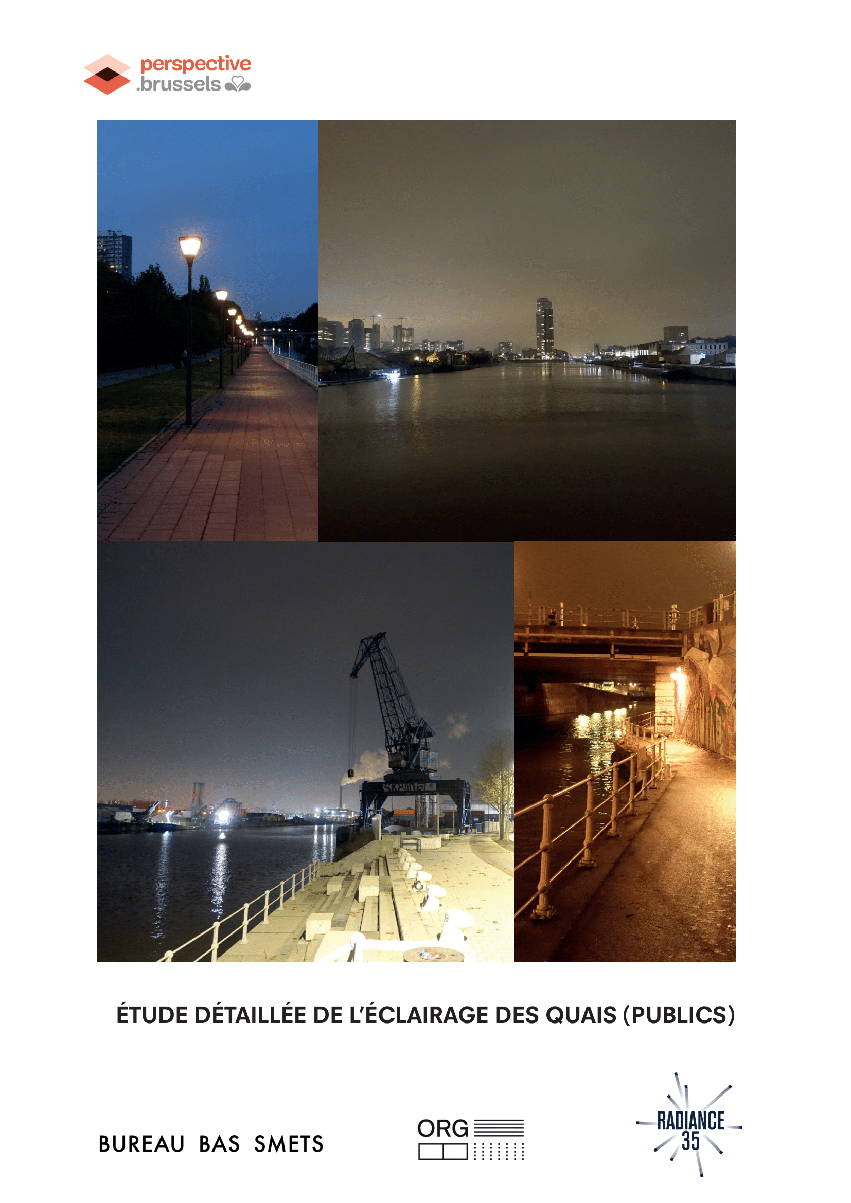
Detailed study of the lighting of (public) quays in the canal area, landscape and urban quality plan
-
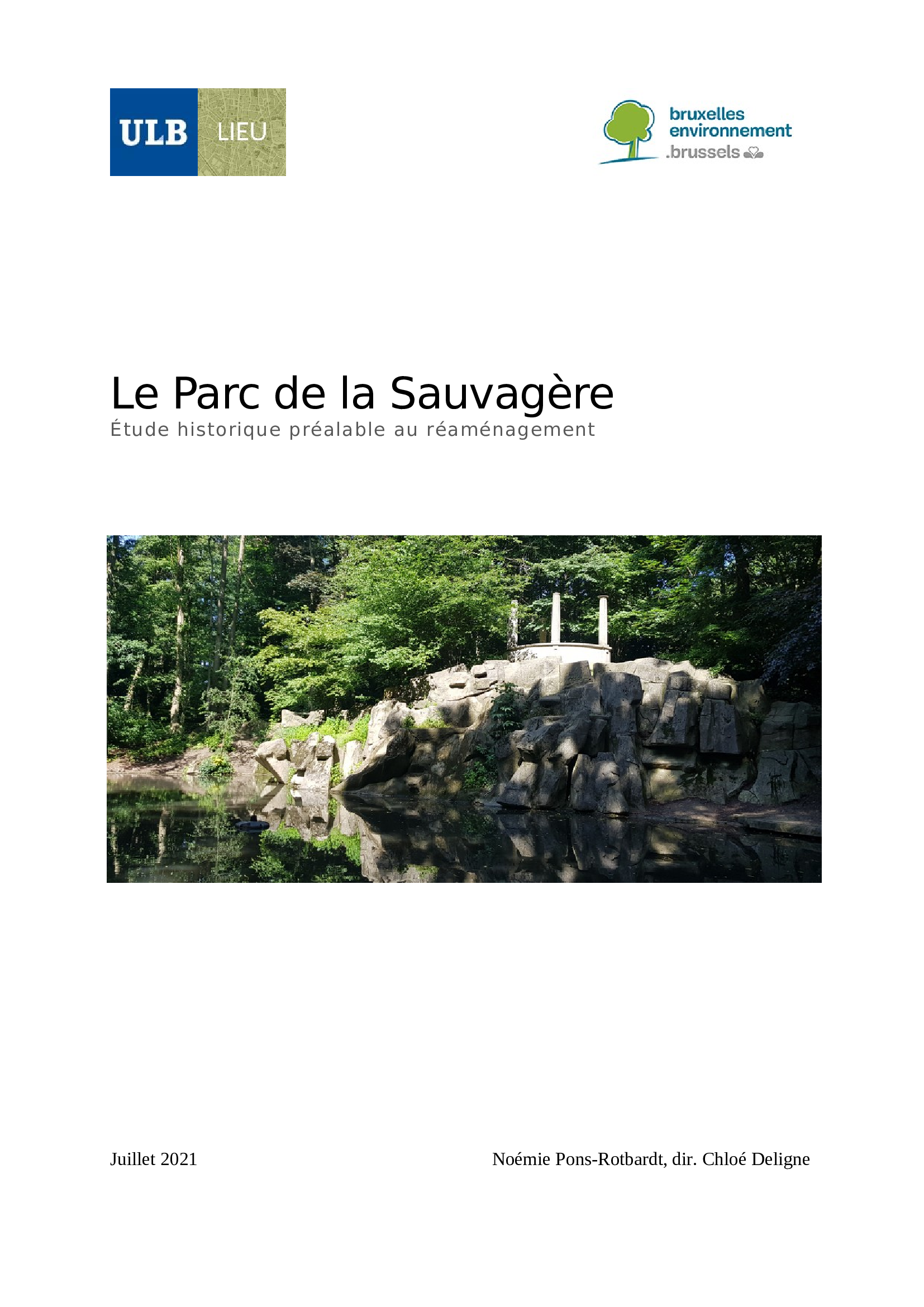
The land of La Sauvagère was once part of the Forêt de Soignes. It was sold to the Société Générale at the same time as the Forest, it was sold and then cleared from 1831-33. At the beginning of the 20th century, Albert Blieck, an industrialist in Molenbeek, had a villa built there designed by the architect Fritz Seeldrayers, in the middle of a park laid out by the landscape architect Jules Buyssens and the rock cutter François Dumilieu, two figures of the Jardin picturesque movement. Two successive owners have subsequently changed the contours and character of this private estate, which was relatively neglected for twenty years after the Second World War. Bought by the Commune of Uccle in 1964, it became a public green space public green space a few years later and is home to various sports facilities and domestic animals. Its proximity to other preserved natural areas (Kauwberg, Geleytsbeek valley, Engeland plateau, Verrewinkel wood, Fond Roy...) justifies its inclusion in the in the Natura 2000 network in 2016.
-

No abstract
-
The UrbIS - Land cover product corresponds to the dataset of physical and biological surfaces in the Brussels Region. This dataset is composed of four geometric classes. The first class corresponds to bridges. The second corresponds to tunnels, the third corresponds to street surfaces, and the fourth corresponds to blocks including forests, parks, and bodies of water. The dataset is freely downloadable as a zipped file and via the ad hoc WFS.